Kataragama Land Use and Human Activities
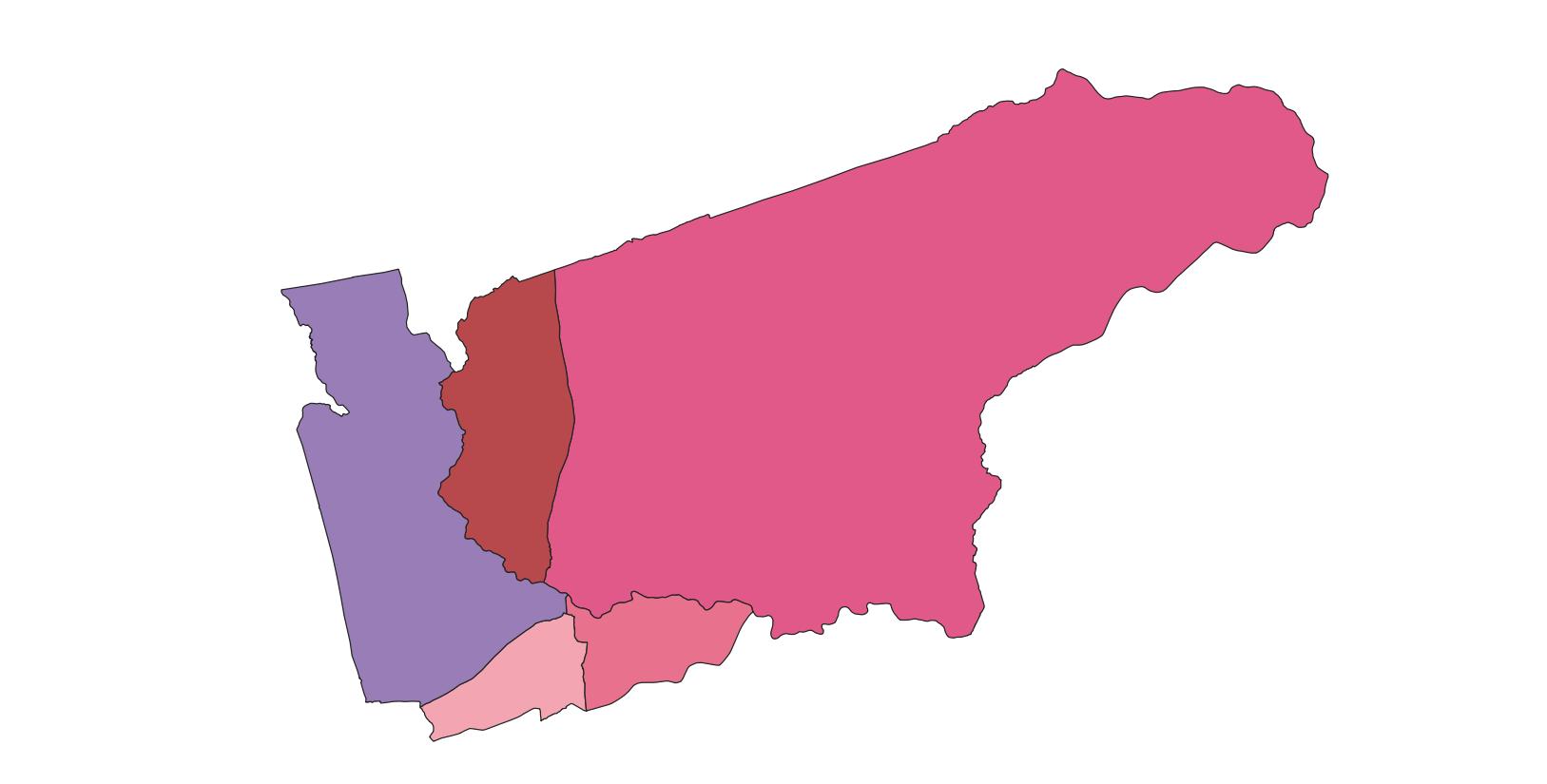
Size of domains in Kataragama area
්
| Grama Niladhari Division | Gr. Deputy Number | square hectares | sq km | Acres |
| Kataragama | 146 | 37717.71 | 377.17 | 93283.61 |
| Sella Kataragama | 146 A | 4440.48 | 44.40 | 10981.672 |
| Detagamuwa | 146 B | 1970.91 | 19.70 | 4873.508 |
| Kandasurindugama | 146 C | 1722.58 | 17.22 | 4143.942 |
| Karavile | 146 ඩි | 9348.32 | 93.48 | 23119.429 |
| Collection | - | 55200 | 552 | 136,402.14 |
Land use
්
| Nature of land use | Area (ha) | Percentage of total land area | |
| Territory | Land use | ||
| Non-agricultural land | |||
| Building Areas | 210.50 | 0.3 | |
| Sports Flour | 9.78 | 0.01 | |
| Farmland | |||
| Plantation Crops | 1559.12 | 2.8 | |
| Tea | - | - | |
| Rubber | - | - | |
| Coconut | 38.85 | 0.07 | |
| Other field crops | 287.24 | 0.5 | |
| Annual crop | 328.54 | 0.5 | |
| Rice | 834.03 | 1.5 | |
| Bananas | 74.70 | 0.13 | |
| Mango | 5.89 | 0.01 | |
| Hain | 452.31 | 0.81 | |
| Forests | |||
| Dense forests | 42212.28 | 76.47 | |
| Open forests | 3304.72 | 5.98 | |
| Grassland | 217.57 | 0.39 | |
| Scrubland | 1280.17 | 2.31 | |
| Forestry | 111.40 | 0.20 | |
| Rocky areas | |||
| Water sources | |||
| Tanks | 758.70 | 1.3 | |
| Irrigation | 40.98 | 0.07 | |
| Rivers | 197.59 | 0.35 | |
| Streams | 101.62 | 0.18 | |
| Roads | |||
| Main | - | - | |
| Important | - | - | |
| Wetlands | - | 1822.80 | 3.30 |
| Other | - | 1348.94 | 2.44 |